City

Miami

Compare Miami Beach, Brickell, Downtown and Wynwood. Choose your base around beach time, dining, a cruise departure or a short city stay.

Guides
3
Checked places
0

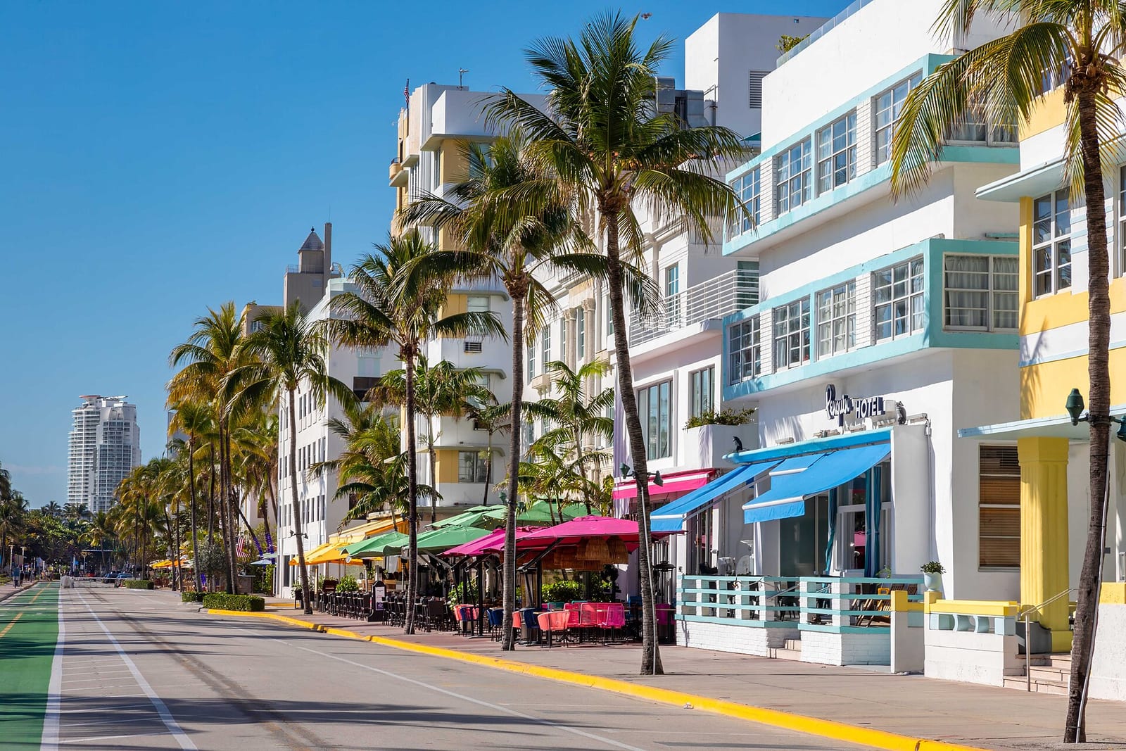
Image: Ocean Drive, Miami Beach Art Deco district | Photo by Robbschultz69 on Wikimedia Commons | CC BY-SA 4.0

Where to stay

Compare places to stay in Miami and Miami Beach

Compare lodging prices around Miami and Miami Beach for your dates.

This is a partner hotel map from Stay22, not an official booking desk. It shows live third-party availability around Miami and Miami Beach; if you book through it we may earn a commission at no extra cost to you. Confirm exact location, dates, and cancellation terms with the property before booking.

Pastel Art Deco hotels along Ocean Drive in the Miami Beach Art Deco Historic District · Photo by Robbschultz69 on Wikimedia Commons · CC BY-SA 4.0

The map loads from Stay22 only when you choose to open it.

Map

Map of Miami

The map places Miami and its checked places in Florida; use it to compare the region against the other islands, historic cities, the Everglades, and the Gulf and Atlantic coasts.

Loading the visitor map…You can also choose an area from the list below.

Map of MiamiCompare this region with the other Florida islands, historic cities, and coasts.

A practical plan for this area

Use this page to decide whether Miami belongs in a wider Florida trip, then choose the detailed base on Miami Guide. A beach stay, a Brickell work visit and a night before a cruise need different hotel and transfer plans.

Getting there and back

Check whether you arrive at MIA, another airport or by road. For a cruise, identify the ship’s PortMiami terminal from the cruise line. Include the cross-bay journey when comparing Miami Beach with a mainland overnight.

Before you book

Match the hotel to the main commitment and check its actual transfer arrangements. Choose the cruise, work or beach plan before comparing rates; a cheap room in another area may add journeys both ways.

If plans change

If a late flight removes the beach afternoon, compare a mainland or airport sleep stop. Keep the next-day transfer explicit and choose a meal near the hotel.

Plan reviewed:

Guides

Florida planning guides

Region decisionFlorida by region: the Atlantic coast vs the Gulf coast vs the KeysFlorida is too spread out to see in one trip, so pick a region and base, not a statewide loop. The Atlantic coast combines surf, historic St. Augustine, and the Palm Beach–to–Fort Lauderdale strip; the Gulf offers the beach towns of Sarasota, Naples and Sanibel, shelling and sunsets; the Keys require a separate long drive to Key West. Add the Everglades from either the Miami or Gulf side. Water temperature, surf and swimming conditions vary by place, weather and season.Keys route plannerDriving the Overseas Highway: Miami to Key West through the KeysThe Overseas Highway (US-1) runs about 160 miles from Miami to Key West on a single road, crossing the Seven Mile Bridge and a chain of islands to mile marker zero in Old Town. It is toll-free but slow — two-lane stretches, one road in and out, and one bad crash can stall the whole chain — so give it a full day and stay at least a night. In Key West, base in walkable Old Town for Hemingway's home and its six-toed cats, Fort Zachary Taylor's beach, the lighthouse, and the butterfly conservatory.Historic coast plannerHistoric Atlantic Florida: St. Augustine, Amelia Island, and Palm BeachFlorida's Atlantic coast holds the state's deepest history. St. Augustine is the old Spanish city — the Castillo de San Marcos, the Lightner Museum, and Flagler College — best based in the walkable historic district. Amelia Island, just north, adds a quiet 19th-century fort and beach town. Far south, Palm Beach is Gilded-Age Florida — the Flagler Museum, The Breakers, and Worth Avenue — with Fort Lauderdale's beaches and museums nearby. Base in the north for the old city or the south for the Gilded-Age strip; they're too far apart to combine casually.