State
Florida
Florida is the statewide umbrella zone for micro-zone routing and the cross-region planning guides. Editorial coverage is organized around specific coasts, towns, drives, and visitor corridors rather than broad statewide claims, with deep Miami planning kept to the companion city guide at miamiguide.app.
- Status
- phase-0
- Guides
- 0
- Checked places
- 0
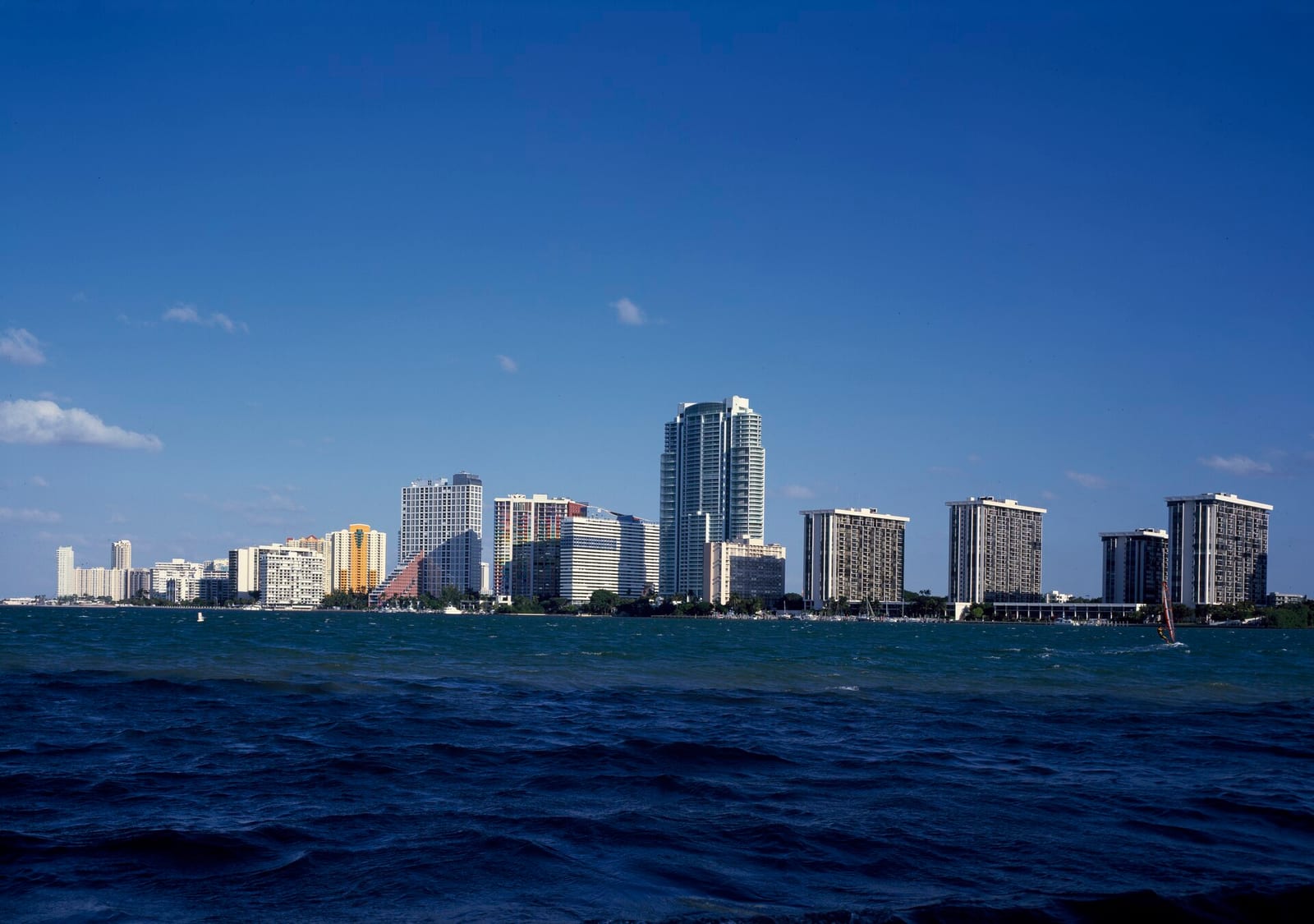
Image: Miami skyline from Biscayne Bay | Photo by Carol M. Highsmith on Wikimedia Commons | Public Domain
Region map
Florida in the Florida region roster
Use the statewide map to compare this region against the other islands, historic cities, the Everglades, and the Gulf and Atlantic coasts.
Florida regions
1 Miami Beach-area choices, Brickell and downtown, Little Havana, Wynwood, cruise and airport bases on Biscayne Bay. 2 Key West The end of the Overseas Highway: walkable Old Town, Hemingway's house, the lighthouse, and sunset at the island's edge. 3 St. Augustine The oldest city: the coquina Castillo, St. George Street, and the Flagler-era Gilded Age buildings. 4 Ybor City Tampa's historic Latin cigar quarter on 7th Avenue - the Columbia Restaurant, Cuban bakeries, and social clubs. 5 Naples Old Naples, the pier, the Fifth Avenue South shops and dining, gardens, and the Gulf-coast beaches. 6 St. Armands Ringling's St. Armands Circle, Lido and Longboat beaches, the Ringling museum, and Selby Gardens. 7 Worth Avenue Palm Beach's luxury Worth Avenue promenade, the Flagler Museum, and the historic Breakers oceanfront resort. 8 Las Olas Fort Lauderdale's Las Olas Boulevard, the Riverwalk museums, the Bonnet House, and the beach strip. 9 Amelia Island The northeast barrier island: Victorian Fernandina Beach downtown, Fort Clinch, and Atlantic resorts. 10 Everglades The river of grass: the Homestead, Shark Valley, and Gulf Coast gateways to Everglades National Park. 11 Sanibel The shelling islands: the Sanibel lighthouse, the Ding Darling wildlife refuge, and the Shell Museum.
Planning categories